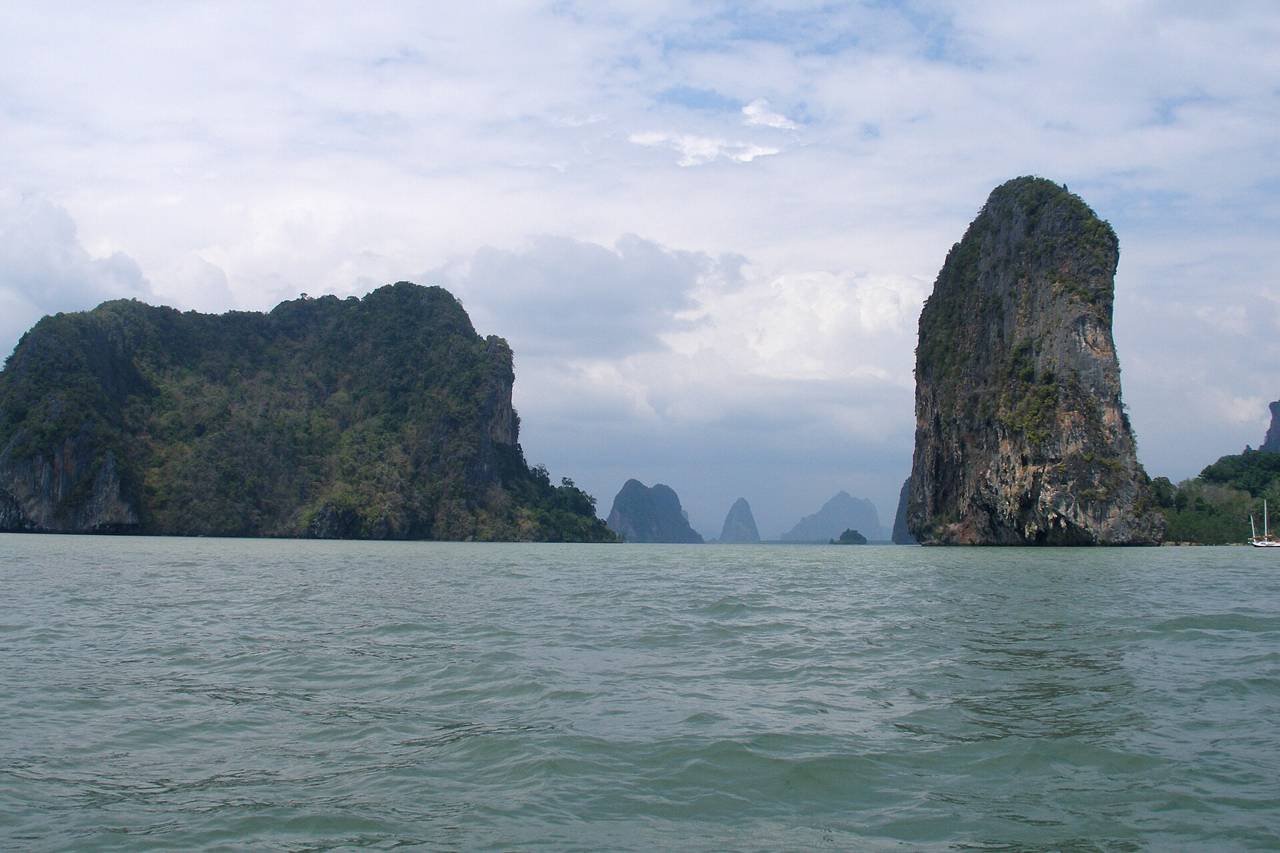
Phang Nga Bay is a 400 km2 bay in the Andaman Sea between the island of Phuket and the mainland of the Kra Isthmus of southern Thailand. Since 1981, an extensive section of the bay has been protected as the Ao Phang Nga National Park. The park is in Phang Nga Province, at 8°17′N 98°36′E. Limestone cliffs with caves, collapsed cave systems, and archaeological sites are found about Phang Nga Bay.Source: Wikipedia, CC BY-SA 4.0
Visiting tips
- Pick an early departure to beat the crowds at James Bond Island.
- Best season in Thailand: November to March.
- Carry water, sun protection and clothing suitable for religious sites where relevant.
Location map
LandmarkCityClick a pin for details
Open in Google Maps · Coordinates via Wikipedia.
Where to stay nearby
The most convenient base is Phuket. Recommended areas: Kata & Karon (family-friendly beaches with good surf in season); Patong (nightlife central, busy and loud); Phuket Old Town (sino-Portuguese shophouses and cafés, away from the beach).
Nearby landmarks
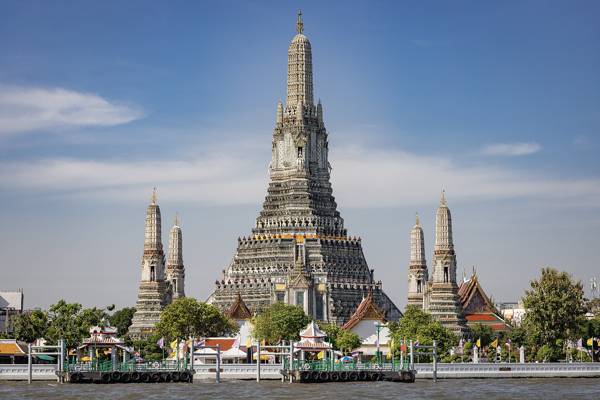
Temple · Thailand · 641 km
Wat Arun
The Temple of Dawn, its porcelain-studded spire rising from the Chao Phraya.
Discover →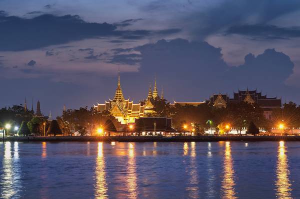
Palace & temple · Thailand · 641 km
Grand Palace & Wat Phra Kaew
The dazzling former royal residence and home of the revered Emerald Buddha.
Discover →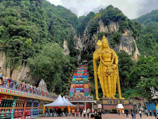
Temple · Malaysia · 656 km
Batu Caves
A Hindu shrine inside limestone caves, guarded by a giant golden statue of Lord Murugan.
Discover →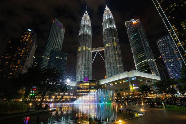
Architecture · Malaysia · 665 km
Petronas Twin Towers
Once the world's tallest buildings, linked by a skybridge at the 41st and 42nd floors.
Discover →