- TypeViewpoint
- CountryHong Kong
- BaseHong Kong Island & Kowloon
- Coordinates22.2756, 114.1439
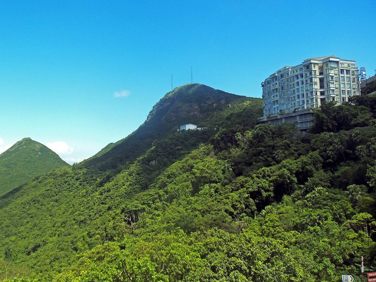
Victoria Peak is a hill on the western half of Hong Kong Island. It is also known as the Mount Austin, and locally as The Peak only generally. With an elevation of 552 metres, it is the tallest hill on Hong Kong Island, and the 29th tallest in the territory of Hong Kong.Source: Wikipedia, CC BY-SA 4.0
Visiting tips
- Take the Peak Tram up and walk the Lugard Road loop.
- Best season in Hong Kong: October to December.
- Carry water, sun protection and clothing suitable for religious sites where relevant.
Location map
LandmarkCityClick a pin for details
Open in Google Maps · Coordinates via Wikipedia.
Where to stay nearby
The most convenient base is Hong Kong Island & Kowloon. Recommended areas: Tsim Sha Tsui (harbour views and transport); Central / Sheung Wan (bars, galleries and trams); Causeway Bay (shopping and nightlife).
Nearby landmarks
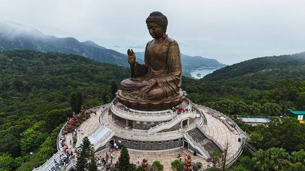
Monument · Hong Kong · 24 km
Tian Tan Buddha
A giant bronze Buddha on Lantau Island, reached by the Ngong Ping cable car.
Discover →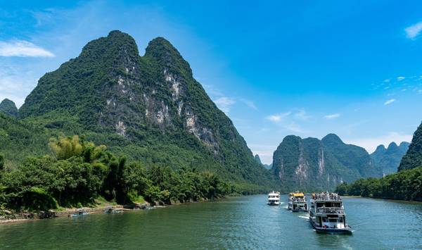
Nature · China · 443 km
Li River
Karst peaks reflected in the river, the scene on the 20-yuan note.
Discover →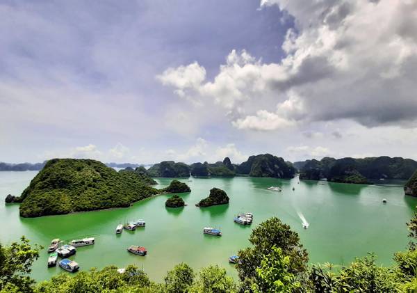
Nature · Vietnam · 733 km
Ha Long Bay
Thousands of limestone islands in a UNESCO-listed bay, best seen on an overnight cruise.
Discover →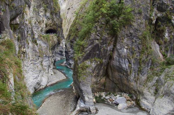
Nature · Taiwan · 764 km
Taroko Gorge
Marble cliffs and turquoise river in Taiwan's most famous national park.
Discover →